Reception of NOAA weather satellite images.
Reception of NOAA weather satellite images.
Introduction.
There are more than 1700 satellites orbiting the earth, some 150,000 km away. They send photos and other data to Earth.
Most satellites are American. (quote from National Geographic, February 2018).
The type of weather satellites that we can receive in the 137Mhz segment can be divided into:
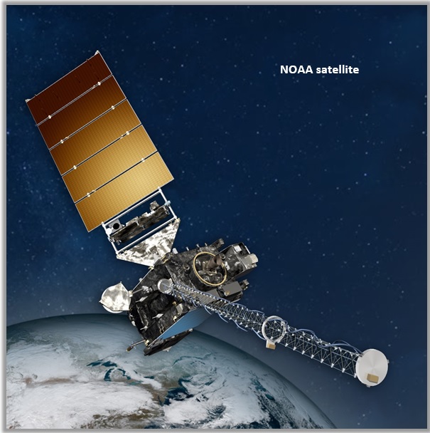
- NOAA: satellites, which transmit an analog signal also called APT
(Automatic Picture Transmission) and can be received with simple means.
- Meteor-M2: the Russian weather satellite, which transmits a digital signal,
also known as LRPT (Low Resolution Picture Transmission).
Resolution is much higher, 1Km2 per pixel, than that of the NOAA satellites. The intention is to
mention more about this in the next installment.
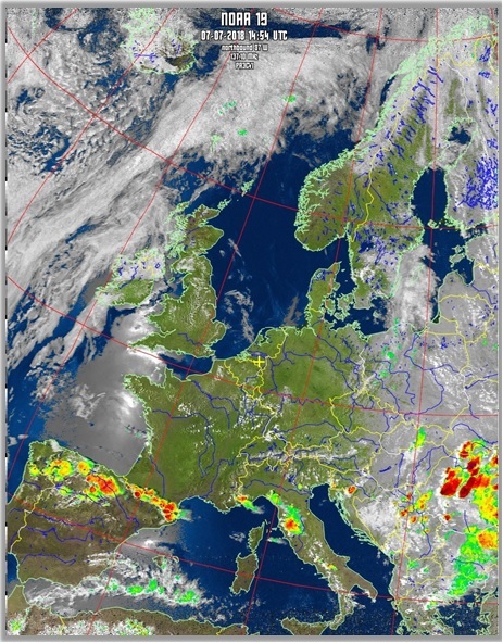
In this episode it's the turn of the NOAA weather satellites. Three American NOAA weather satellites
are currently active, orbiting the earth at about 850-900 Km. Like the Meteor-M2, they are so-called
polar satellites that orbit the Earth via the North and South poles. These satellites send analog
signals to Earth and are convertible for us amateurs into pictures of the weather, which are fairly
easy to receive given the "low" satellite altitude. You need three free downloadable programs
for this: SDRSharp, 'WXintoImg' and for part 2: Orbitron. This article is a guide aimed at helping
everyone receive weather satellite images with a Windows system as simply as possible with a cheap
RTL-SDR dongle (USB stick). The dongle has an R(TL)820T2) chip setting and is suitable for
reception of 25-1700 MHz.
What is the minimum you need for a reasonable reception:
Hardware (equipment)
o RTLSDR dongle.
o a QHF, or equivalent, antenna.
o Computer.
o Optional 137 LN amplifier.
Software (software), free to download.
o SDRSharp.
o WXtoIMG.
o Orbitron, automatic reception.
So far a short summary of the possibilities to receive real time satellite recordings.
My extensive manual can be downloaded here
Home


Meteor

